Mordialloc and Carrum
Walk overview
Length: 18.8km circuitTime: 5.5 hours
Grade: medium to hard
Ascent: 10m
Maximum height:10m
Region: Eastern shore of Port Philip Bay, Victoria
Map: Melway maps 92, 93, 97
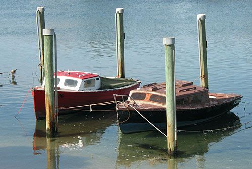
"The eastern shore of Port Philip Bay is a long beach backed by the southern suburbs of Melbourne. The firm sand provides easy walking with views of the bay and the ever present boats and seabirds. This walk follows the beach from Mordialloc to Carrum and then heads inland to the Edithvale Wetlands. The 101 hectare wetlands are a remnant of the Carrum-Carrum Swamp that once covered more than 10,000 hectares. The swamp was drained in 1879 by construction of the Patterson River and much of the area was then used for farming and later developed for housing. The remnant wetlands were first regarded as being just drains for flood control but are now recognised as being important refuges for birds and native vegetation. A combined walking and cycling path passes through the wetlands and is used to return to Mordialloc."
Source: Day Walks Melbourne
My comments
Chris finally succumbed to temptation and bought a GPS unit that works with his Treo 650. Not that we could have gotten lost on this walk. The route was very straightforward.In fact, the back half the walk was boring. So boring, I'd never do it again. The path was almost dead straight for several kilometres. And the environment was barely wetlands and more accurately described as suburban.
I would grade the walk as easy-medium. I've got no idea how it could be rated medium-hard. It was very pedestrian.
My rating
Poor.Photos from this walk

For more see: Mordialloc-Carrum photo slideshow
Posted by Dey at 9:47 PM | Link to this post
![]()

<< Home